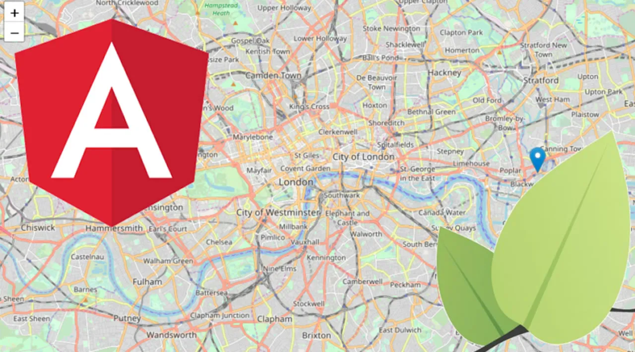
Learn how to build Maps in Angular with Leaflet, learn how to render shapes for the continental states of the United States of America.
Leaflet supports shapes. By providing a GeoJSON file that contains data for boundaries, you can indicate counties, states, and countries on your map.
Note: This is Part 4 of a 4-part series on using Angular and Leaflet.
In this tutorial, you will learn how to render shapes for the continental states of the United States of America.
#angular #leaflet #javascript

2.45 GEEK