We are not lost, we are locationally challenged — John M. Ford
Table of content
- What is Spatial Data Science?
- Why is Spatial Data Science Important?
- What skills & technologies are used in Spatial Data Science?
- Understanding the types of GIS data
- Formats of GIS Data
- GIS Data source
- Python as a tool for Spatial Data Science
- Building Interactive Maps
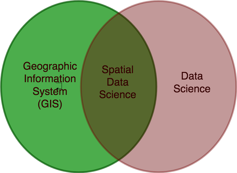
What is Spatial Data Science?
Spatial Data Science is a subdivision of Data Science that focuses on the distinctive characteristics of spatial data, moving beyond simply looking at where things happen to understand why they happen there.
Spatial data is any data related to or containing information about a specific location on the Earth’s surface. Spatial data has information about where each datum is.
Spatial Data Science treats location, distance & spatial interactions as core aspects of the data using specialized methods & software to analyze, visualize & apply learning to spatial use cases.
Created from Draw
Why is Spatial Data Science important?
Spatial analysis allows you to solve complex location-oriented problems and aids a better understanding of what and where events are occurring in your world. It goes beyond mere mapping to let you study the characteristics of places and the relationships between them. Spatial analysis lends new perspectives to your decision-making.

#geospatial #gis #getting-started #technical-analysis #data-science