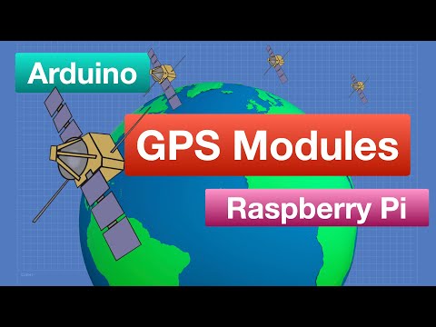
Learn how satellite positions systems like GPS work, how to use GPS modules with Arduino and Raspberry Pi, and build a GPS position logger which can display results on Google Maps.
The Global Positioning System, or GPS, is one of several satellite positioning systems that we can use to determine our location, altitude and the exact time - from anywhere in the world.
Thanks to these systems, and the availability of low-cost receiver modules, we can easily add GPS functionality to any project.
Today I’ll explain how these positioning systems work, what kind of data we can get out of them, and how we can use these popular modules with both the Arduino and Raspberry Pi.
And, as a fun experiment, I’ll show you how to build a simple Arduino-based GPS logger that saves your position onto a microSD card, using a file format that can be imported into Google Maps. I took a walk in the park with it to give it a test.
Here is what you’ll see in today’s video:
00:00 - Introduction
01:25 - Satellite-Based Navigation Systems
08:00 - Look at GPS Modules
10:34 - Basic GPS Operation with SoftwareSerial
15:28 - GPS Libraries - TinyGPS++
19:55 - Beitian 880 with HMC5883 magnetometer
25:48 - Adafruit Ultimate GPS with Raspberry Pi
32:19 - Build a GPS Position Logger
47:52 - Conclusion
Subscribe: https://www.youtube.com/c/Dronebotworkshop1/featured
#raspberry #arduino