Created with my friend, co-presenter, and fellow data hacker, Julie (twitter), and with help from CARTO!
Hello, world!
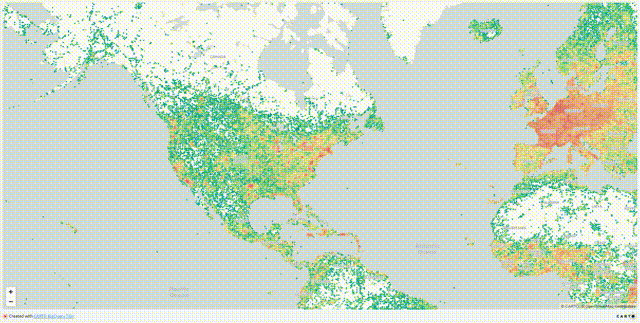
Recently, CARTO introduced the BigQuery Tiler and we had the opportunity to present at the Spatial Data Science Conference 2020 and give a glimpse of what the tiler is like.
We gave a talk!
We created a couple demos for this presentation, and we wanted to share it out as a bit of a “hello, world” exercise for the tiler! We have loaded the data and the queries/code onto a Github repository and you’re welcome to give it a whirl. When building these for the first time, we found a lot of good information on a lot of the different components, but it wasn’t always straightforward trying to tie them all together, so this includes a lot of lessons we learned along the way, and gives a full end to end example from data creation to visualization.
There are some important points to review before running the demo. They are listed in the readme file, but it’s worth reiterating here as well:
- This is demonstration code that is meant to be used to learn, and isn’t meant for use in production. It’s not a supported product, so things may change and break over time, and we’ll try to fix it when we can!
- If this is your first time using Google Cloud, be sure to start your free trial and have your project created!
- This uses Google BigQuery, which can incur costs. Be sure to understand how costs will be incurred to your project through the pricing page, and be sure to understand the Google Cloud Trial and Free Tiers as well if this is your first project.
- This also uses the CARTO BigQuery Tiler. You need to be a part of the beta for this to work. Find more information on this here.
- You’ll also, of course, need a CARTO account!
- For tasks done in the command line for Google Cloud and BigQuery, you can leverage the Cloud Shell which has the command line tools pre-installed, or you can install the Google Cloud SDK to your local (or virtual) machine.
- In the command line, be sure to initialize things by running
gcloud auth loginto set your user, andgcloud initto set your default project.
#big-data #carto #geospatial #bigquery #data-science