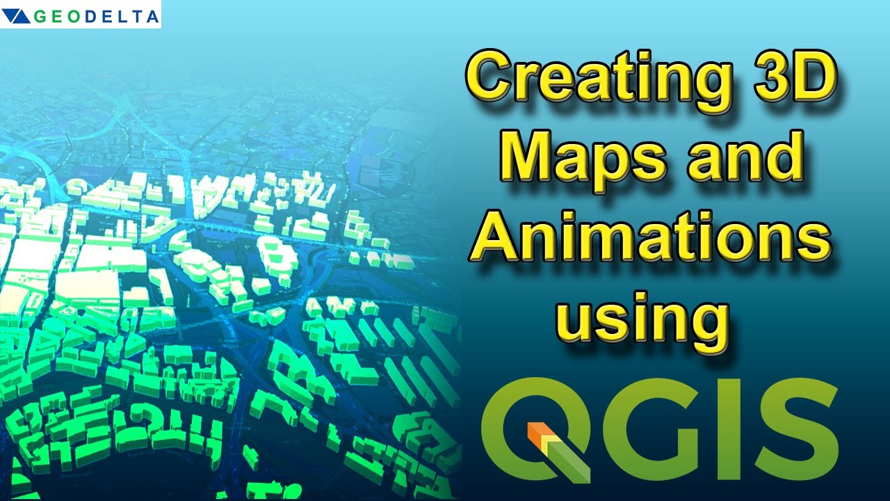
In this tutorial, you will learn how to create 3D maps using vector data in QGIS. As an example, the tutorial illustrates how to transform 2D building footprint data into 3D and visualize it with the aid of a base layer from OpenStreetMaps, and to finally create an animation using QGIS.
Download the data - https://drive.google.com/drive/folder…
Subscribe: https://www.youtube.com/c/GeoDeltaLabs/featured
#qgis #3d
2.60 GEEK