There are lots of ways to create, visualize, publish maps. But unlike professional desktop apps, there are easy ways to turn our data into visual presentations. I think one of the most easy and effective way to create maps is using Python & Folium.
Sometimes we don’t have the exact location of an address in our data. But we need at least latitude and longitude to specify a unique location on a map. So sometimes we also need geocoding before mapping.
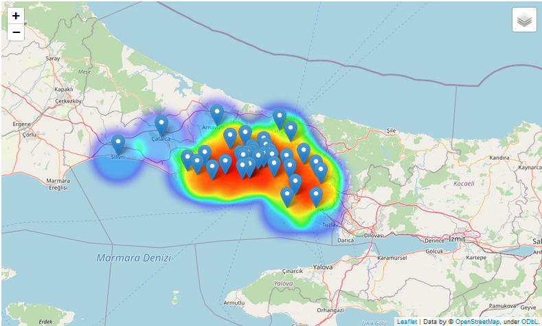
In this tutorial we are going to;
1- Import data frames to python,
2- Geocode long addresses to get latitude and longitude,
3- Put our addresses to a web map with Folium,
4- Create a density based HeatMap from our points on the map.
5- Save our map as HTML file.
The best way to learn is by doing it. So fallow the process on your own computer as shown here. You’ll need Jupyter Notebook and the files in the given link.
#python #maps #web-maps #folium #mapping