Zomato_ is an Indian restaurant aggregator and food delivery start-up founded by Deepinder Goyal and Pankaj Chaddah in 2008. Zomato provides information, menus and user-reviews of restaurants as well as food delivery options from partner restaurants in select cities._
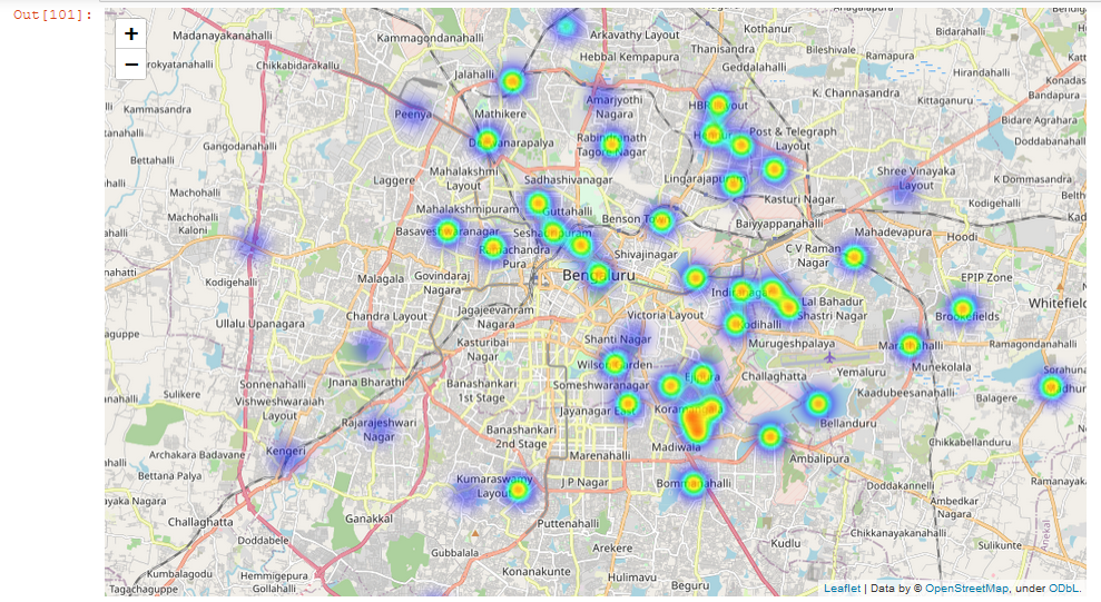
Geospatial analysis_ is the gathering, display, and manipulation of imagery, GPS, satellite photography and historical data, described explicitly in terms of geographic coordinates or implicitly, in terms of a street address, postal code, or forest stand identifier as they are applied to geographic models._
Let’s have a look at our data
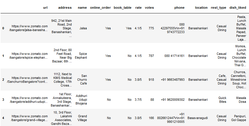
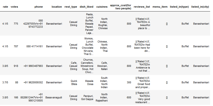
Data containing 5717 records and 17 features
Data Pre-processing for analysis
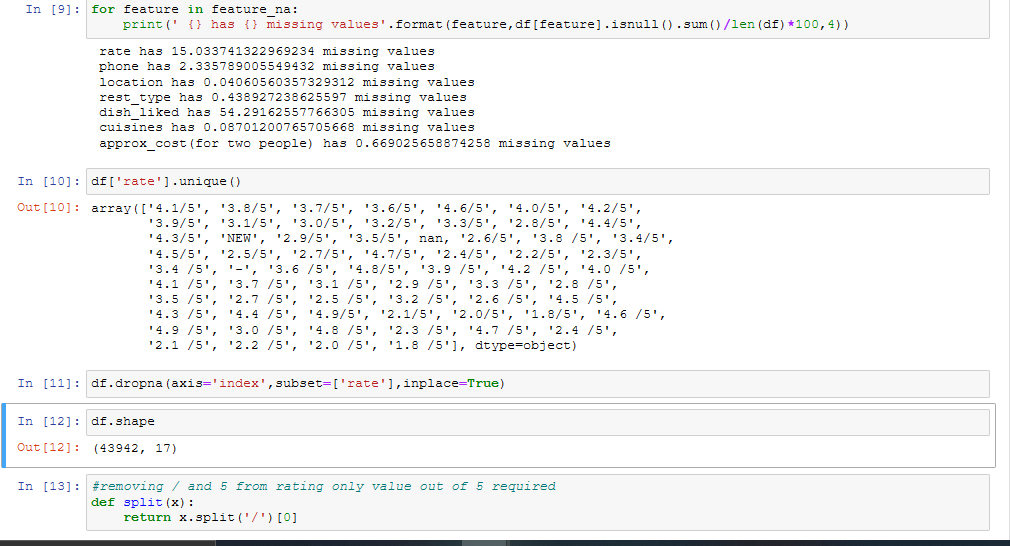
As from the data set features such as “rate” cannot be analyzed now because ‘4.1/5’ is not a valid format, so we will be extracting 4.1 out of this format as ‘/5’ is common for all rows and we can say that these ratings here out of 5. Also we need to convert data type. As in the given data “rate” is represented as an ‘object’, so we have to convert it into ‘float’ format.On the other hand we need to replace missing values like ‘NEW’, ‘nan’ or ‘-’ with 0, so that it should not create a problem for the later analysis.
Finding type of distribution
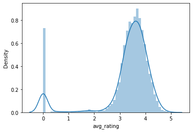
This graph is plotted using **Seaborn **library which shows that 50% of the restaurants have ratings between 3 to 5. Some of the restaurants shows rating as 0 because they are new and restaurants with 4.5 star rating are very rare.
.
#bengaluru #geospatial #python #data-science #zomato