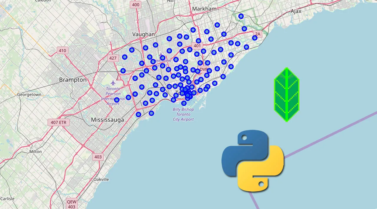
Often when working with data you will have access to geospatial features such as latitude and longitude coordinates. It can be interesting to map these to get an idea of how instances of a data set are spread across different locations.
In this short article, I walk through the steps I took to get bike rental location data and show the locations on a map. I use Dublin Bikes data (https://data.smartdublin.ie/dataset/dublinbikes-api) and the Folium library (https://python-visualization.github.io/folium/), which, as the documentation says, “builds on the data wrangling strengths of the Python ecosystem and the mapping strengths of the leaflet.js library”. More information on Leaflet can be found in the docs here.
Requirements
I used Python 3.7, Folium 0.12.1 and Pandas 1.2.4. I also use Jupyter Notebooks in Anaconda Navigator.
#maps #folium #pandas #python